
ATFM
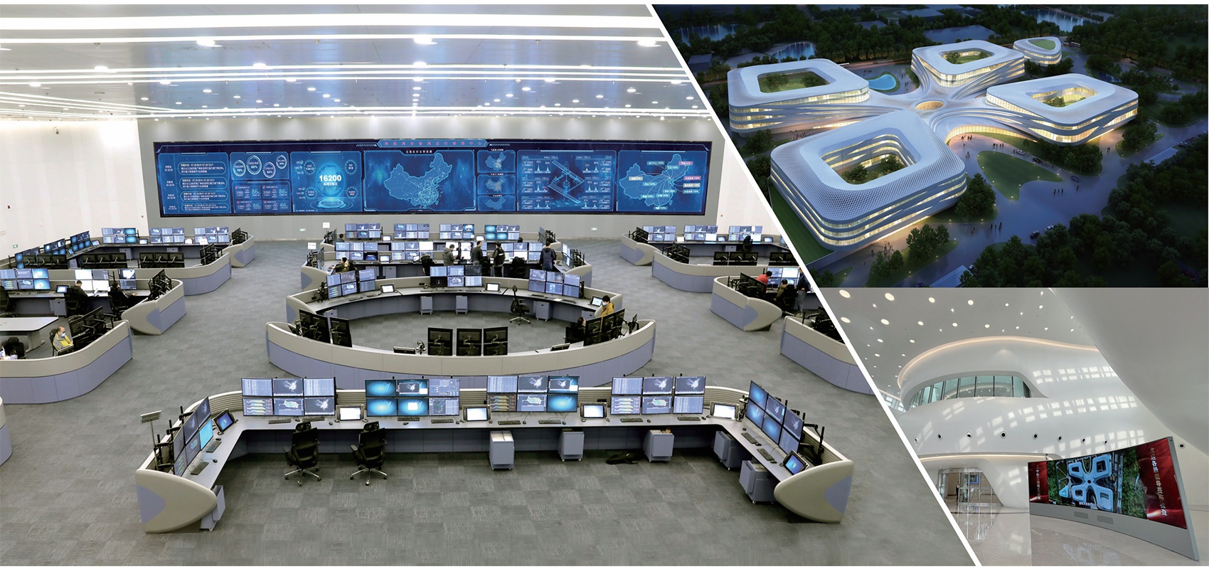
On June 30, 2021, a major benchmarking project in the field of civil aviation undertaken by our company-my country's first national air traffic flow management system was put into operation, as a large-scale information covering the most complex functions and the most difficult technological innovation in the history of China's air traffic control development The system has realized for the first time nationwide air traffic control operation command and management with flow management as the core, and established an air traffic control operation system with flow management as the core. Airports, neighboring countries, etc., have filled the gap in civil aviation's national traffic management. Together with Europe and the United States, it is called "the world's three leading technology-leading traffic management systems", breaking through the four key technologies for the first time, and realizing China's civil aviation from "district" to " The leap forward of "a game of chess" marks a major progress in the frontier research of global civil aviation traffic management, and promotes the integrated development of China's electronic technology digital transportation industry chain and innovation chain.
Features
Advance flight plan management system, flight plan centralized processing system, data import and processing, capacity management, pre-tactic management, tactical flow management, cross-border flow platform, post-event statistical analysis, review analysis, big data analysis, airport airlines, systems Operation and maintenance monitoring, simulation training platform, etc.
Highlights
- At the same time, it supports the analysis and evaluation of more than 500 sectors, 300 airports, 800 air routes, 2000 key waypoints and other airspace objects
- For the first time, the entire flight process, all elements, and multi-mode intelligent flow management assisted decision-making have been realized, and the number of affected flights has been reduced by 50%
- The number of traffic management measures issued in a single region has dropped by more than 30%
- Achieve rapid calculation of 20,000 flight time slots per day for national and cross-border flights, increase calculation and anti-jumping capabilities by more than 10 times, and reduce average flight delay time by more than 30 minutes
- It is estimated that it can save 32 million U.S. dollars in fuel each year, which is equivalent to reducing China's annual carbon dioxide emissions by 103 million kilograms
Application
- Additional runway:Shanghai Pudong Airport
- Remote ACC/TWR: Jiuhuashan Airport
ATC
With rich experience and expertise in design and manufacture of Air Traffic Control (ATC) system for civil and military applications, LES Info provides high performance ATC solutions suitable for en-route, terminal and tower control centers, and also keeps evolving to create a mature, stable and reliable operational ATC system.
Function
- Multi-radar/ADS/CPDLC data fusion processing
- Flight data processing (ICAO and non-ICAO)
- Flight flow monitoring
- Automatic control area handoff
- Synchronous record and playback for analysis and training
- Airport approach surveillance data processing
- Reliable voice control communication system
- Integrated information system
- Integrated information system
- Highly reliable through active standby processors and redundant LAN
- Comprehensive technical support to provide long-term assistance and future upgrading
Application
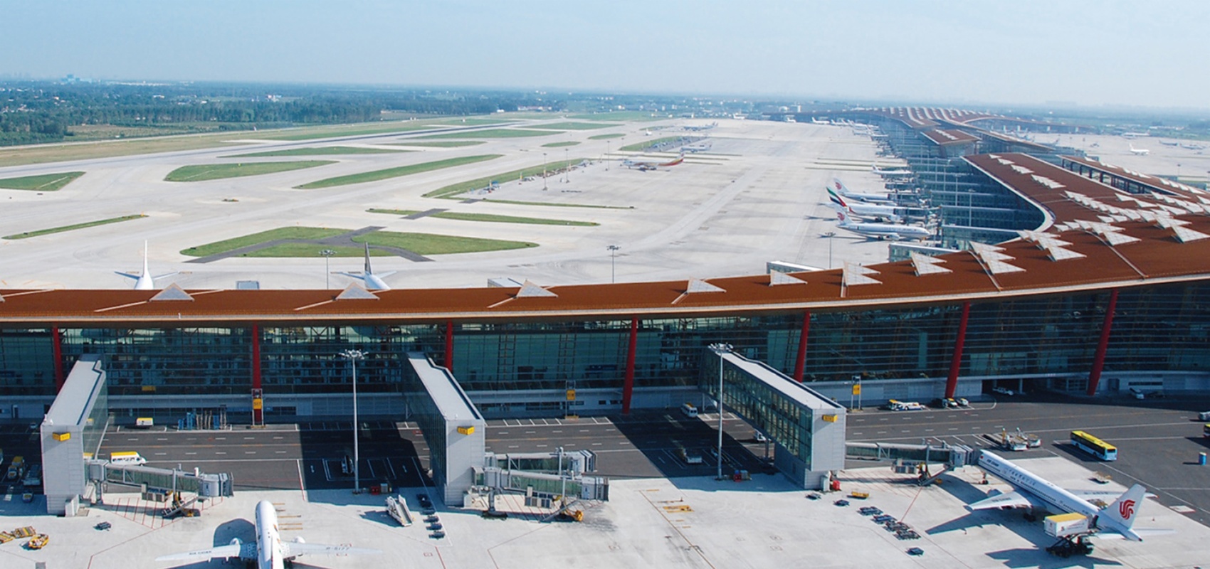
- The air traffic control automation system of Beijing new terminal Area control center developed by our company, as the largest and most complex air traffic control automation system in the world at present, has been officially put into operation and takes on the duty support task.
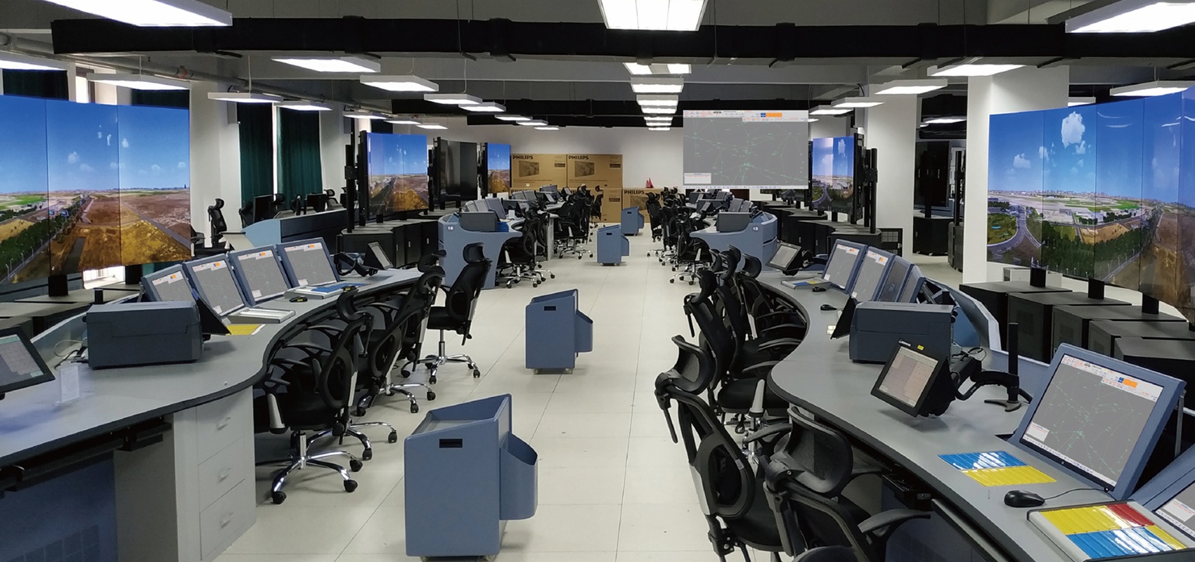
Simulation Training System

Thesystemprovidescontrollerswithatrainingandsimulation platformintheenvironment ofprocedurecontrolandradarcontrol.Applicableforthetrainingofcontrolskills,operation proceduresandcontrolrulesvia:
- Trainingpositionsetup
- Trainingscenarioestablishing
- Pilotoperationsimulation
- Trainingscenarioestablishing
Features
- Meetdifferentcontrolrequirementsfromareas,airportsand colleges.
- Closecombinationofcontrolskilltrainingandon-dutytraining.
- MultipleavailableMMIstomeetthetrainingrequirementsof differentversionsofATCsystems.
- Distributedandopenarchitectureforflexiblequantityexpansionoftraineepositionandcaptainposition.
- VersatiIeTrainingMethods
- Visualizedscenarioeditingandintuitionaldataforconvenientmodification.
- Supportsynchronoustrainingformultipleusersandmultiple systemdata(implementsimultaneouslymultipleitems trainingwithdifferentscenariosanddifferentmapsinthesamesystem).
- Flexibletrainingstandardssetup,completetrainingcourse recordingandautomatictrainingresultevaluation.
Application
- Lent China's seven regional control centers
- Sino Airports in Qingdao, Sanya, Hangzhou, Hefei, Nanjing, Xinjiang, Guiyang, Haikou, Kunming, Shantou etc
- China Northern Airlines University, Civil Aviation University of China, China Southern Airlines University, Kenya East African Civil Aviation School and other universities, enterprises and public institutions
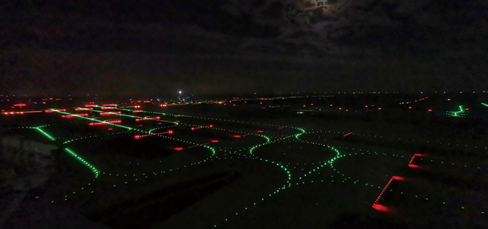
A—SMGCS
Thesystemhasmultiplefunctionssuchasradarsignalcollection, surfacesurveillance, alarm control, routingcalculation, andlightguidance,whichmeetthelevel-1Voperationstandard recommendedby1CAO.EffectivelyintegratedwithATCautomation system, meteorological system, apronmanagementsystem, MLATsystemtoachievedynamic trackingandsafety monitoringofsurfacemovingtargets, improvingairportoperationefficiencyandproviding safetysupportforlow-visibilityairportoperation, whichisaninnovationandrevolutionin airportsurfacemanagement.
Features
- IntegrateinformationfromsMR,ssR,MLAT,ADs-B,etc., implement data fusion and visualize the surface movement situation, provides assistance for decision-making andconflictalarms.
- Simultaneouslymanage1000batchesofsurfacemoving
- Targets(includingaircraftsandvehicles)toavoidcollision effectively.
- Providewith automatic/manualsurfacerouteplanning and light/section taxiing light guidance to reduce operationcosts.
- WithallEPsfunctionsthatreducesworkloadofcontrollers.
- Improvetheairportthroughput.
Application
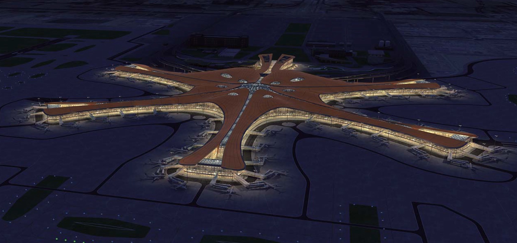
- 2airportsconstructedaslevel-IV Standard: Beijing Daxing Airport
- 9 airports constructed as level-II+standard: Beijing Capital Airport, Shanghai Pudong Airport, Hangzhou Xiaoshan Airport rt